Maps have traditionally been created by trailblazers who dared to venture into the unknown. Spurred by the same pioneering spirit, Israeli startup Pixtier aims to spearhead the next revolution in cartography.
The innovative company has designed a software program that can automatically transform a series of two-dimensional aerial photos into accurate, three-dimensional digital maps. These maps can then be used in urban planning, homeland security, virtual reality tours, and even autonomous vehicles.
“We want to create 3D urban maps and provide them to municipalities, city planners, architects and construction companies,” Dror Ouzana, CEO of Pixtier, tells NoCamels.
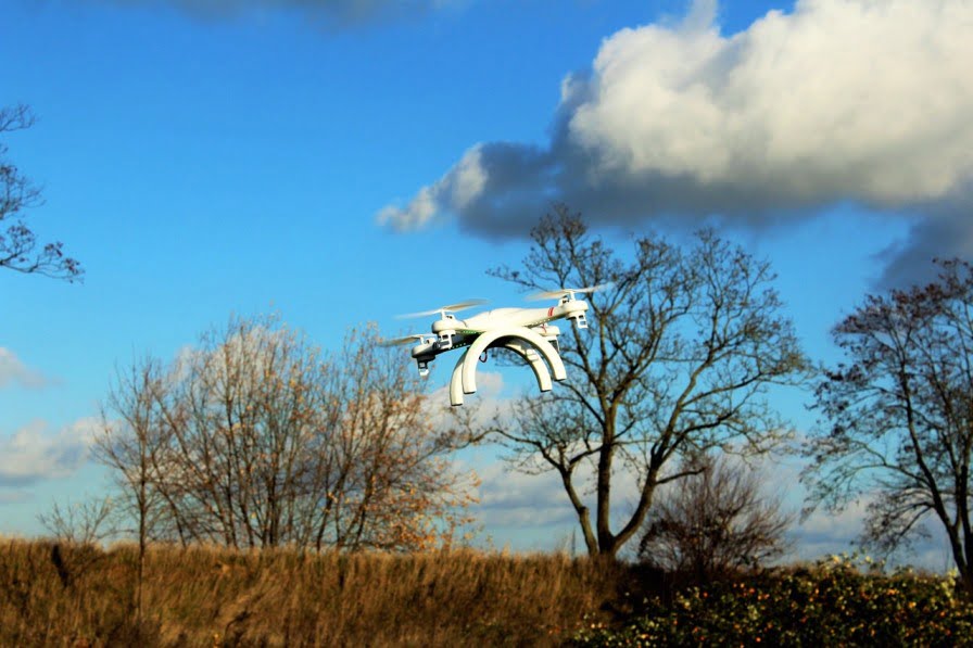
In order to create these 3D maps, the only input needed for Pixtier’s software is a series of aerial photos of a city. For instance, a drone can be used to take aerial photos of the Old City of Jerusalem. In a few hours, Pixtier’s software automatically generates an accurate 3D model of Jerusalem that can be analyzed and modified using modelling software such as AutoCAD.
City planners and architects can then use these 3D models for urban planning. “Today, architects plan their buildings in 3D using modelling software, but then there’s no map to place their plans on,” Ouzana says. With Pixtier’s 3D maps, architects can easily visualize their building plans in an accurate digital model of the city.
This technology is also useful for designing and building new city infrastructure. For example, the upcoming 5G network, the next generation of cellular data,will require antennas to be placed every few hundred meters in all cities. The only way to integrate this infrastructure into an urban environment is with the help of a 3D map, claims Ouzana.
Designing smart cities
After emerging as a finalist in the 3C Smart Cities Challenge 2016 in Tel Aviv, Pixtier was given the opportunity to help design a brand new smart city called “Croatá Laguna Ecopark” in Brazil. Pixtier is currently working with a multinational team, including a group from Israel’s Tel Aviv University, to design a new city for some 20,000 people.
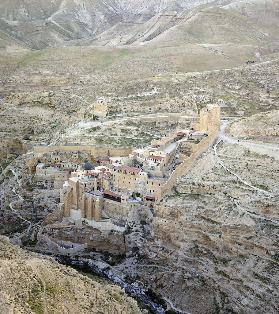
The company is constantly exploring new applications for its 3D maps – beyond urban planning. For instance, 3D maps can be integrated with VR technology to create virtual tours. In fact, Pixtier has already created a virtual tour of the Mar Saba monastery, just east of Bethlehem, complete with information derived from Wikipedia.
These 3D maps could also be programmed into self-driving cars. Using cameras, radars, and other advanced technologies, driverless cars can detect and avoid other cars and obstacles. But for navigation purposes, they need 3D maps with precise information about street layouts, traffic lights and roadside infrastructure.
Out-mapping the competition
Sign up for our free weekly newsletter
SubscribeWhile Pixtier is not a drone company – rather, a software developer – the startup’s groundbreaking solution is only possible thanks to recent advances in drone technology. The wide availability of drones on the market means that aerial images of cities can be crowd-sourced from drone users. Pixtier can create separate 3D maps based on different sets of aerial images from different drone users, and then merge maps of adjacent locations. Furthermore, if a new building is built in a city, existing 3D maps can be updated using new drone photos of the building.
SEE ALSO: Personal Delivery Drone Will Ship Goods To Your Location Within Minutes
Pixtier’s competitors include Google, Apple and Microsoft, which have offered 3D maps for several years now. There are also two other companies that offer similar automatic 3D mapping services – DroneDeploy and Maps Made Easy.
However, Ouzana claims that only Pixtier’s 3D maps can be used in modeling software like AutoCAD to plan new buildings. As for other drone-to-map services, Ouzana claims that existing services are oriented towards mapping agricultural plots or small construction sites, while Pixtier is the only company that can create large-scale 3D urban maps.
SEE ALSO: Delivering The Goods: Israel Leads The Way In Drone Innovation
With just three employees, the four-year-old company has raised $300,000 from Israel’s Office of the Chief Scientist. Besides its project in Brazil, it has also embarked on a project to map the city of Ramat Gan, Israel.
Pixtier plans to retain ownership of the 3D maps it creates, and offer access to these maps for a fee. Ouzana declined to disclose the price.
He believes that demand for 3D maps and services will increase rapidly in the coming years. Reports suggest that Uber, Tesla, Toyota and Ford are some of the major corporations in search of 3D mapping technology like Pixtier’s.
However, he is aware of the intense competition to meet this soaring demand. “Someone will eventually have 3D maps,” he says. “We just hope it will be us.”
Related posts

Editors’ & Readers’ Choice: 10 Favorite NoCamels Articles

Forward Facing: What Does The Future Hold For Israeli High-Tech?

Impact Innovation: Israeli Startups That Could Shape Our Future


Facebook comments